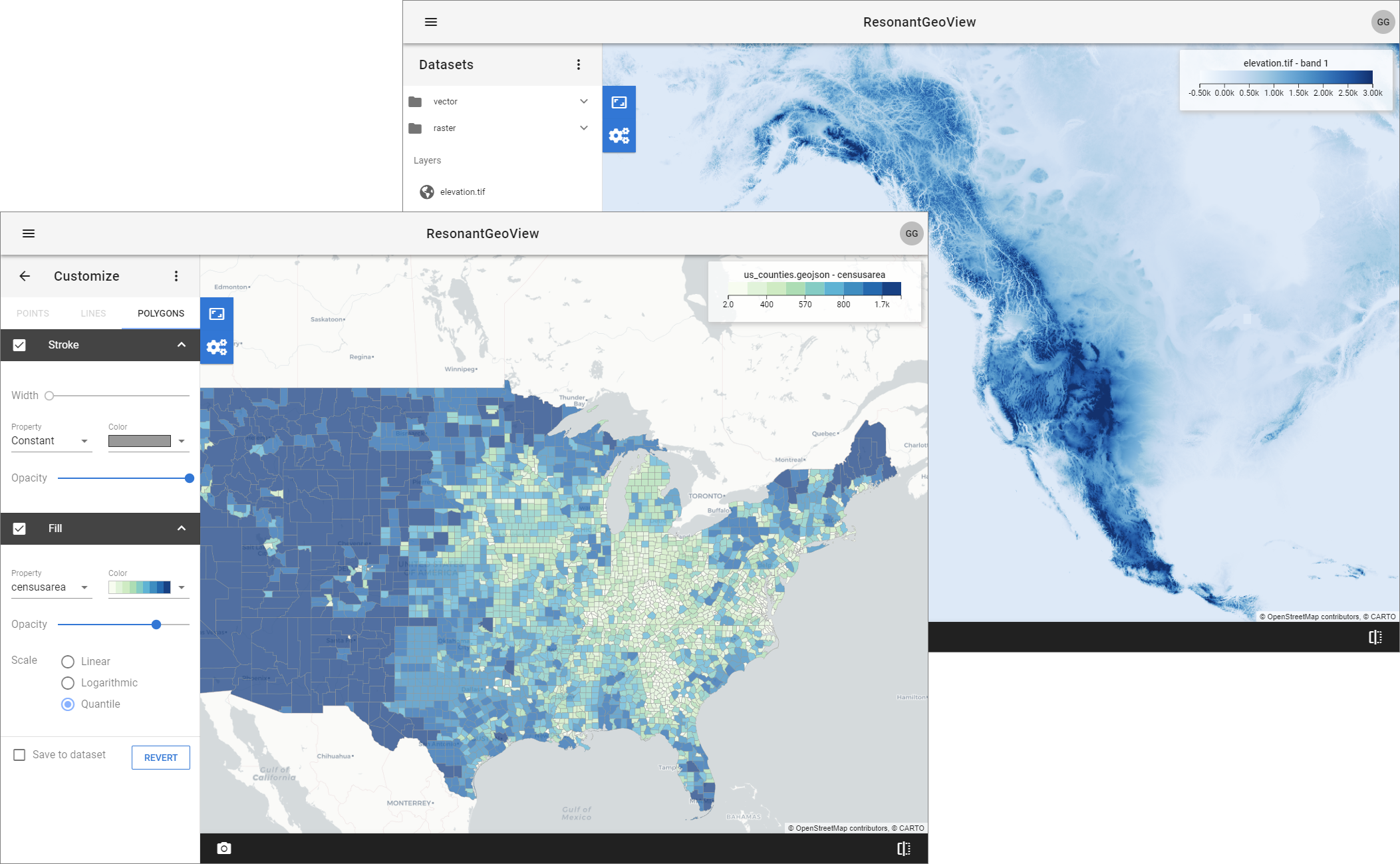
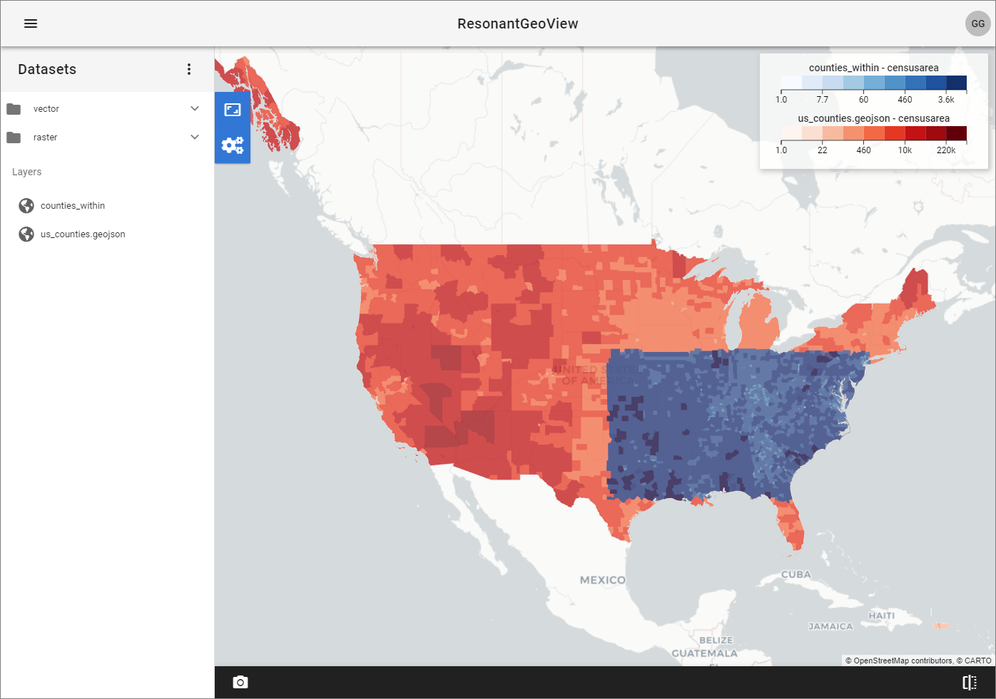
ResonantGeoView is a geospatial web application and framework created to enable users to upload, visualize, and analyze small to large geospatial data from a web interface. ResonantGeoView uses advancements in web and database technologies such as WebGL and NoSQL(MongoDB) database. It is designed for big data and cloud enabled data analysis and visualization.
Some of the highlights of ResonantGeoView include using a web-enabled data management Girder to manage data, metadata, sessions and employing high-performance geospatial data visualization library GeoJS to provide fast interactive visualization of geospatial data on a map. ResonantGeoView backend uses open-source tools such as Gaia, GDAL, Shapely, and Fiona for performing geospatial data I/O, filtering, and spatial analysis.
ResonantGeoView can be deployed as Docker containers with these scripts.
Contact kitware@kitware.com for questions regarding using ResonantGeoView and deploying it in a cloud environment.
Copyright 2019 Kitware Inc.
Licensed under the Apache License, Version 2.0 (the "License"); you may not use this file except in compliance with the License. You may obtain a copy of the License at
http://www.apache.org/licenses/LICENSE-2.0
Unless required by applicable law or agreed to in writing, software distributed under the License is distributed on an "AS IS" BASIS, WITHOUT WARRANTIES OR CONDITIONS OF ANY KIND, either express or implied. See the License for the specific language governing permissions and limitations under the License.


